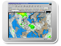
| View weather maps on your Web page, concurrent with the morning reports. Radar and satellite photos are color enhanced to define rainfall and/or frozen precipitation. Satellite and radar photos are automatically updated. Buoy and recon reports are available with the click of a button. Tropical storm and hurricane tracking charts provide a visual of your location relative to the storm. Click on your location to find the distance to the center of the storm and to view a graph of projected winds at your site.
(see Hurricane Animation and Range Rings)
(Radar, buoy and recon reports are included as available for your international locations.) |
 |